Snow ops,
storm-radar first.
Live Environment Canada storm radar, contracted accumulation thresholds, and GPS photo proof on every visit — the weather view behind every snow.ca route.
Products

Storm radar in, photo proof out.
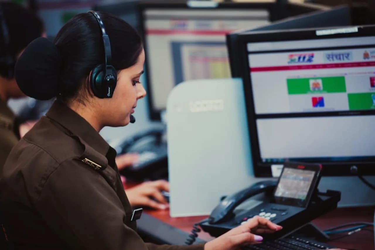
snow.ca uses Environment Canada storm radar to schedule routes from the closest depot. When the forecast crosses your contracted accumulation threshold, your local crew is queued. After the visit you get GPS-stamped photo proof within 30 minutes.
How a storm becomes a visit
- Environment Canada radar shows a cell tracking toward your city
- Forecast accumulation is projected against your contracted trigger (typically 2 cm commercial, 5 cm residential)
- Local crew is queued from the nearest snow.ca depot
- On-site work within the contracted response window (2–4 hours typical on commercial)
- Photo proof + GPS delivered to your inbox within 30 minutes of completion
What every visit documents
- 5 geo-tagged photos — entry, mid-clearing, completed driveway, completed walkway, salt visible on pavement
- GPS coordinates at each photo timestamp
- Timestamp UTC, second-level precision
- Crew member named in service record
- Product applied — rock salt / treated / CaCl₂ / MgCl₂ / pet-safe
- Application rate — lb / 1,000 sq ft or kg total
- Pavement condition at application
Why this matters for claim defence
Slip-and-fall claims average $340,000 per incident in Ontario. The primary defence is documented evidence the property was cleared and salted per contract spec at the time of the alleged incident — which is exactly what the per-visit photo packet provides.
Questions, answered.
How does snow.ca use storm radar to schedule crews?
Environment Canada GEM regional model runs at 250 m horizontal resolution and refreshes every 6 hours; snow.ca dispatch pulls the latest model output every 15 minutes during active winter weather. The storm cell is projected against your city's geographic boundary and the forecast accumulation is compared to your contracted threshold (typically 2 cm commercial, 5 cm residential, custom thresholds on hospital and retail open-by SLAs). When the forecast crosses the trigger AND the confidence interval exceeds 70 %, your local crew is queued from the nearest snow.ca depot 6–12 hours in advance for pre-storm anti-icing brine application, then re-queued post-storm for clearing. On-site work happens within the contracted response window — typically 2–4 hours on commercial accounts from end-of-storm, or open-by 7 AM for retail. The model output is also cross-checked against radar (RADAR_1KM_RRAI) and weather-station data within 50 km of each property; dispatch overrides the model when ground truth diverges materially.
What does snow.ca document on every visit?
Five geo-tagged photos (entry condition, mid-clearing, completed driveway or lot, completed walkway / stairs, salt visible on pavement), GPS coordinates at each photo capture point, UTC timestamp from the device clock (not the photo EXIF), named crew member with their employee or contractor ID, product applied (rock salt / treated salt blend / CaCl₂ pellets / MgCl₂ brine / pet-safe urea blend / sand), application rate in pounds per 1,000 square feet, total pounds applied, pavement temperature at time of application (infrared gun reading), ambient air temperature, and a free-text field for the crew lead to flag any anomalies (frozen drain, broken downspout, obstruction, vehicle blocking a zone). The full packet is delivered to the property manager's inbox within 30 minutes of crew sign-off, stored in the customer dashboard for 7 years for slip-and-fall defence, and indexed by date, address, and crew for audit retrieval.
How does the photo proof help with insurance?
Canadian commercial-property underwriters discount general-liability premium 15–30 % from baseline when a property's snow operations carry documented per-visit reporting (GPS coordinates, geo-tagged photos, product applied, application rate, timing, crew identity). The discount applies because documented operations win slip-and-fall defended claims at a meaningfully higher rate — snow.ca records 0 lost defended claims across 5+ seasons of documented operations vs Canadian-industry-average loss rates of 12–18 % on undocumented operations. Major underwriters that apply the discount: Northbridge, Aviva Commercial, Intact Commercial Insurance, Travelers Canada, Wawanesa Mutual. snow.ca captures the full documentation packet by default on every visit at no additional charge, packaged for slip-and-fall claim defence and indexed by property and date. Commercial customers routinely see the discount applied at policy renewal, often exceeding the snow.ca contract premium delta over a less-documented local contractor.
Does snow.ca sell snow-ops software or APIs?
No. snow.ca is the operating contractor — we plow snow, salt walkways, haul piles, and clear roofs. The storm radar dashboard, GPS dispatch system, photo-proof retention infrastructure, and customer cabinet exist because we use them to run our own routes, and we make the same operational view available to commercial customers as part of the service record. We do not sell SaaS subscriptions, REST APIs, ERP / FMS integrations (Yardi, MRI, AppFolio, Maintenance Connection), or white-label software to other snow contractors. Independent operators interested in the tooling have asked, and the answer remains no — the platform investment thesis is operational consolidation, not horizontal SaaS distribution. For a service quote, use /quote or call 888-471-SNOW. For a multi-property procurement conversation, sales@snow.ca answers within one business day.